Применение

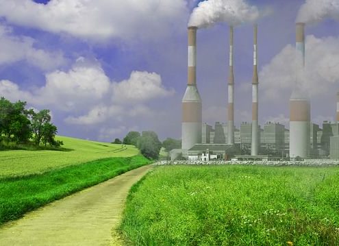
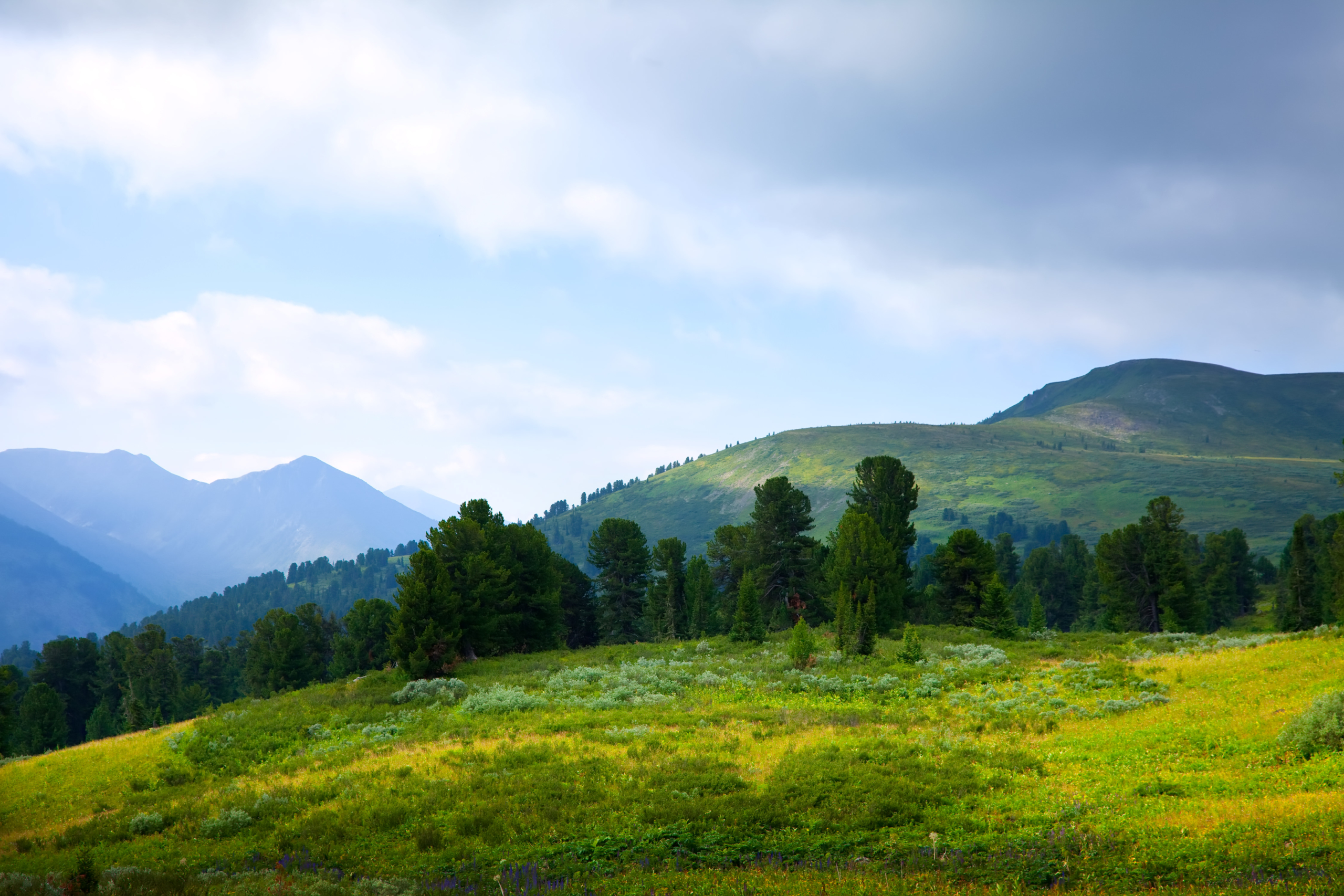
ENVIRONMENTAL RISK MANAGEMENT

  • Agroecology;
  • Analysis of the influence of technogenic factors;
  • Environmental supervision;
  • Monitoring of potentially dangerous objects;
  • Environmental risk management;
  • Environmental assessment of soil pollution with fuels and lubricants;
  • Detection and localization of burial sites of industrial wastes of any chemical composition.

HYDROGEOLOGY

  • Seasonal monitoring of the dynamics of changes in the properties of groundwater;
  • Search and localization of groundwater;
  • Mapping of groundwater and its pollution;
  • Search for sources of salt and fresh water.

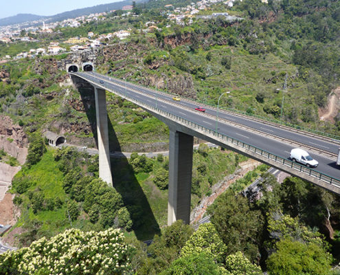
ROADS, RAILWAYS, AIRFIELDS

  • Determination of the pavement thickness, railway embankment, runway elements, aerodrome steering tracks;
  • Determination of the roof geometry of the natural base and ballast;
  • Conformity control of the structure of pavement, railway embankment, runway — design documentation strips;
  • Identification of loose and flooded areas;
  • Study of the features of reinforcing concrete slabs;
  • Study of engineering and geological conditions of areas subject to deformation;
  • Study of the engineering and geological situation of the territories adjacent to airfields.

UTILITY DETECTION

  • Monitoring the status of underground utilities
  • Search and localization of sources of water leakage in underground pipelines;
  • Determining the location of underground utilities, structures, etc;
  • Mapping of underground utilities.

CIVIL ENGINEERING

  • Search and localization of various defects in wooden, brick, reinforced concrete building structures;
  • Detection of fittings, hidden wiring, utilities;
  • Clarification of engineering-geological and hydrogeological conditions of construction sites;
  • Search for hidden defects in the walls of engineering structures, mines, tunnels, in supports and ceilings;
  • Monitoring the status of the underground space during the preventive work on hydrotesting of water supply networks.

ARCHAEOLOGY

  • Localization and analysis of archaeological objects — burials, artifacts, household items;
  • Mapping of ancient structures — identifying the location of the foundation and walls of destroyed buildings;
  • Determination of the thickness of the cultural layer;
  • Monitoring the status of architectural monuments hidden under the ground;
  • A detailed study of archaeological sites.

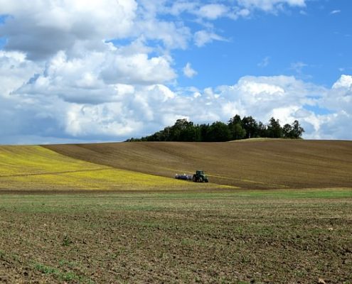
PRECISION AGRICULTURE

  • Assessment of the concentration of mineral fertilizers;
  • Quality control and efficiency of various works;
  • Assessment of agricultural land;
  • Soil fertility assessment;
  • Seasonal monitoring of the dynamics of changes in soil properties;
  • Investigation of the state of the soil, determination of zones of fracture, watering.

EDUCATION

  • Hydrogeology;
  • Archeology;
  • Paleontology;
  • Agronomy;
  • Ecology;
  • Volcanology;
  • Geophysics;
  • and etc.

GIS AND SPECIAL PROBLEM SOLVING

  • Search for criminal burials, caches, explosive devices, people under avalanches;
  • Identification of unauthorized tie-ins into trunk pipelines;
  • Search for the source of leakage and estimation of the amount of leakage from pipelines.
Data examples

SibER 48

R&D report about object localization at the geophysical test field — 2010 (AEMP-14/SibER)


Multi-frequency electromagnetic induction profilers

The first prototype of the EM-I profiler with 14 frequencies was assembled in 1996 (EMS#0), but because of the then crisis situation in the country, the intention to introduce and mass-produce electromagnetic scanners were left until better times. In 2001, in the laboratory of electromagnetic fields of the Institute of Petroleum Geology and Geophysics. A.A. Trofimuka SB RAS (IPGG SB RAS) a second prototype device (EMS#1) was assembled, from which the development of production and testing of the methodology began.

In 2008 was commercial release of multi-frequency electromagnetic induction profiler "NEMFIS" (EMS#05). The experience of using frequency sounding with the "NEMFIS" hardware-software complex shows that a methodological approach to the study of subsurface space to a depth of a few meters on the basis of high-quality signal reconstructions is informative and cost-effective. A comparative analysis of this technique with existing foreign technologies based on the induction methods has revealed a number of significant advantages, such as noise reduction, high resolution and sensitivity.

At 2012 - was released first "AEMP-14" (EMS#20) with completely new electronic plates and cover.
Unique properties of the device:
- the ability to obtain information in the form of geoelectric maps and profiles of the apparent resistivity values in real time on Android or Windows mobile;
- applicability in high level of electromagnetic interference conditions;
- performance in conditions of extremely low ground resistance.

First compact profiler “Geovizer” was released in 2014, it implements the induction multi-frequency sounding method, and allows contactless measuring of the underground situation. As a result of measuring, it is possible to obtain the spatial level distribution of the secondary field signal from the ground till 3 meters depth. Three-frequency EM-I profiler “Geovizer” allows profiling on any set of 3 fixed frequencies in the 12.5 – 111 kHz range, including the measuring with global coordinates automatic associating.


Multi-electrode electrical resistivity & induced polarization imaging instruments

In 2009 the core staff of the company LLC "KB Electrometry" in cooperate with the Institute of Petroleum Geology and Geophysics A.A. Trofimuka SB RAS (IPGG SB RAS) developed the "SibER 48" - multi-electrode instrument, which was designed to perform electrical exploration using resistivity and induced polarization methods with the measuring modes of electrical profiling, vertical electrical sounding, and electrical tomography. There is a switch for electromechanical relays, a generator and a selective millivoltmeter in the case. For long profiles, the “roll-up” mode is implemented with the transfer of the first segment of the multi-electrode cable of the previous arrangement to the place of the second in the next one. SibER 48 has built-in software that allows you to:
- program switching to work with 2D tomography;
- ensure the safety of data during power failures;
- disconnect any electrodes;
- provide flexible control of equipment.

Subsequently in 2014 there was developed 16x channels and 64-electrode instrument for electrical resistivity & induced polarization imaging “SibER 64”. The core of the hardware is an integrated processor unit with Linux OS. Control of the unit organises by 10 inches touch screen, which allows operator to perform all operator work without using a personal computer. Synchronization with an external PC is carried out using a standard USB cable. The internal source generator of a bipolar pulses sequence has 200W power. There is also possibility of using an external generator 1KW+. Thanks to the high-performance processor, touch screen and advanced interface, the equipment layout allows interactively programming measurement protocols, viewing, monitoring and preliminary processing of the measured data.

In 2017, KB Electrometry presented last developments - the Geovizer induction profiler and 48-electrodes 15x measuring channels electrical resistivity & induced polarization imaging instruments SibER 48K12.

In 2019, KB Electrometry brought to the market a new model 64-electrodes 15x measuring channels electrical resistivity & induced polarization imaging instruments SibER 64K15 with the ability to synchronise with an external source VP-1000M.

In January 2020, the company introduced a new version of the Xeres control software, now in the 4th version the user sets the operating voltage, indeed the current. This eliminates the occurrence of emergency situations because of a high ground resistance difference on electrodes. The logging measurement functionality and a new diagnostic module for conducting operational tests of internal nodes of the system are also added.

/Users/Diman/Desktop/product_release.txt
Multi-array ground radio imaging system

The concept of a hardware-software complex for 3D radio imaging was approved in 2006. Since 2012, the development of the multi-array ground radio imaging system "GRT-XX" (GeoRadioTomograph) has been carried out jointly with a group of specialists from the Siberian Physical-Technical Institute (TSU), programmers and specialized engineers.
In 2015, the first prototype of a 16-channel chirp signal generator that work in the 500 MHz - 2000 MHz range was created, which allows multi-angle sounding with trace digitization at 256 samples.

In April 2017 the prototype of a 32-channel generator with pre-processing on board and data transmission via Fast Ethernet (100 Mbit/s) protocol was presented.

In March 2018, at the “Georadar-2018” conference, as part of a field demonstration, a working set of GRT-23 equipment (24 antenna elements; scanning width ~ 2m) installed at the road laboratory was shown. Thanks to the integrated module based on FPGU controllers - the data processing speed was significantly increased - data collection and processing from the entire line at a measurement density of 10 cm was carried out at the speed up to 45 km/h (up to 80 km/h if using 6 measurement channels) with digitization of a trace signal on 512 samples.

In August 2018, a new version of the device was released, with an improved protocol for transmitting data via Gigabit Ethernet, providing digitization of the trace signal at 1024 samples and data collection at speeds up to 80+ km/h with a measurement density of 5 cm when using 32 antenna elements.

In July 2019, a new version of the hardware generator firmware was released, which additionally provided switching options for the measurement mode using the common midpoint method (CMP).

In August 2019, the integration of the .trz format into the GeoReader software package was completed. The results of the data processing obtained during the GPRs testing at the GC Avtodor test field in the summer of 2019, organised by the RosdorNII, demonstrate the high efficiency of the operation of software algorithms for calculating the depth section according to GOST R 58349-2019.

In January 2020, it was possible to significantly improve the quality of data due to the refinement of the antenna modules, as well as the introduction of the primary calibration technique and compensation of the hardware function.

In 2020, the company announces a new model of high frequency radio imaging system - GRT-81, designed to get three-dimensional radio images with a resolution of 15x15 mm according to plan and <2 mm in depth, in particular, to measure the thickness of the upper layer of the road surface with high accuracy, as well as to build the function of changing the relative density of the investigated environment.